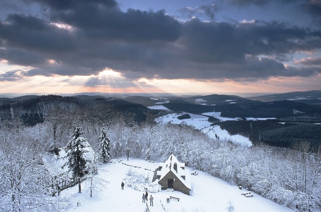
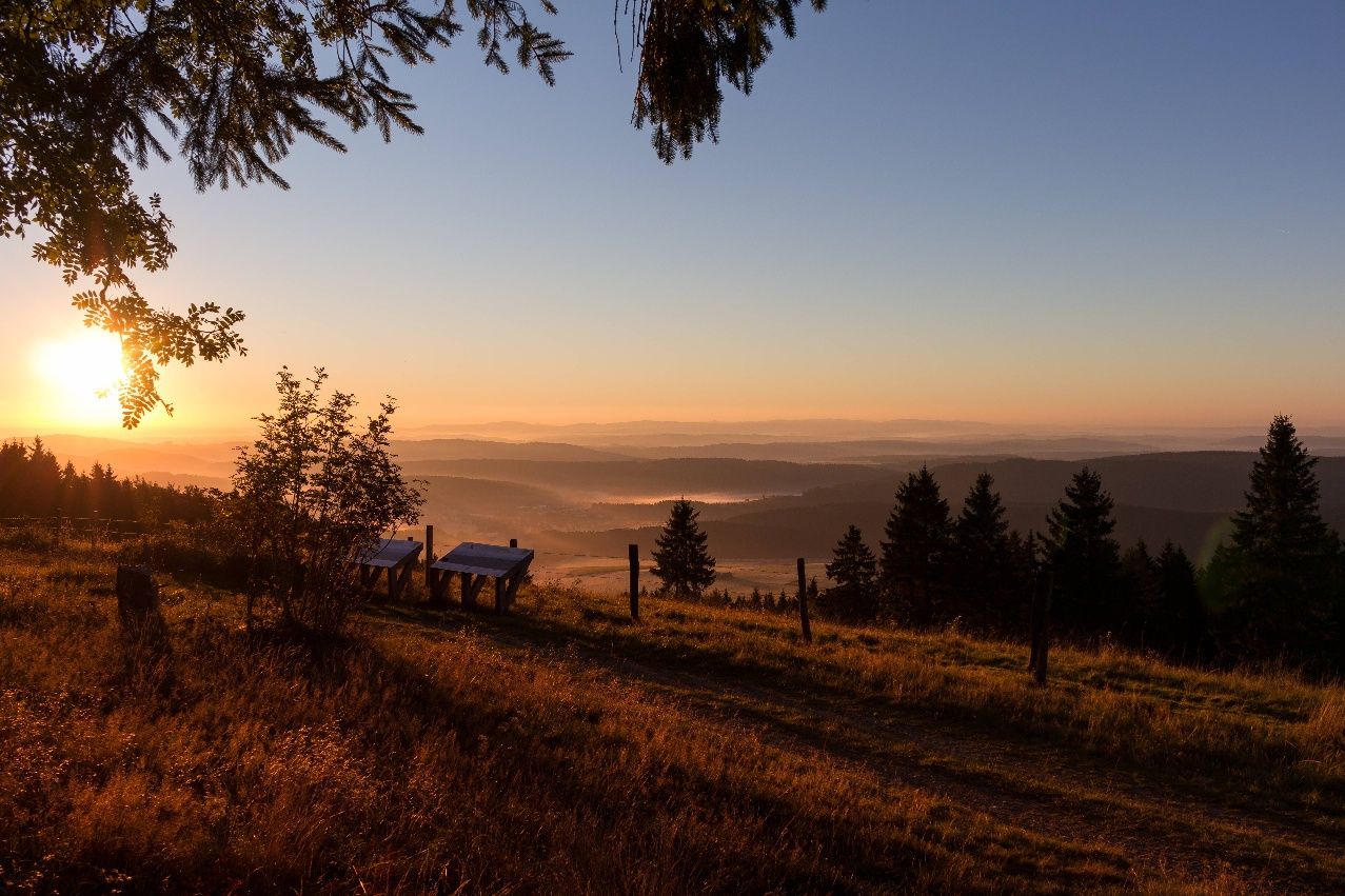
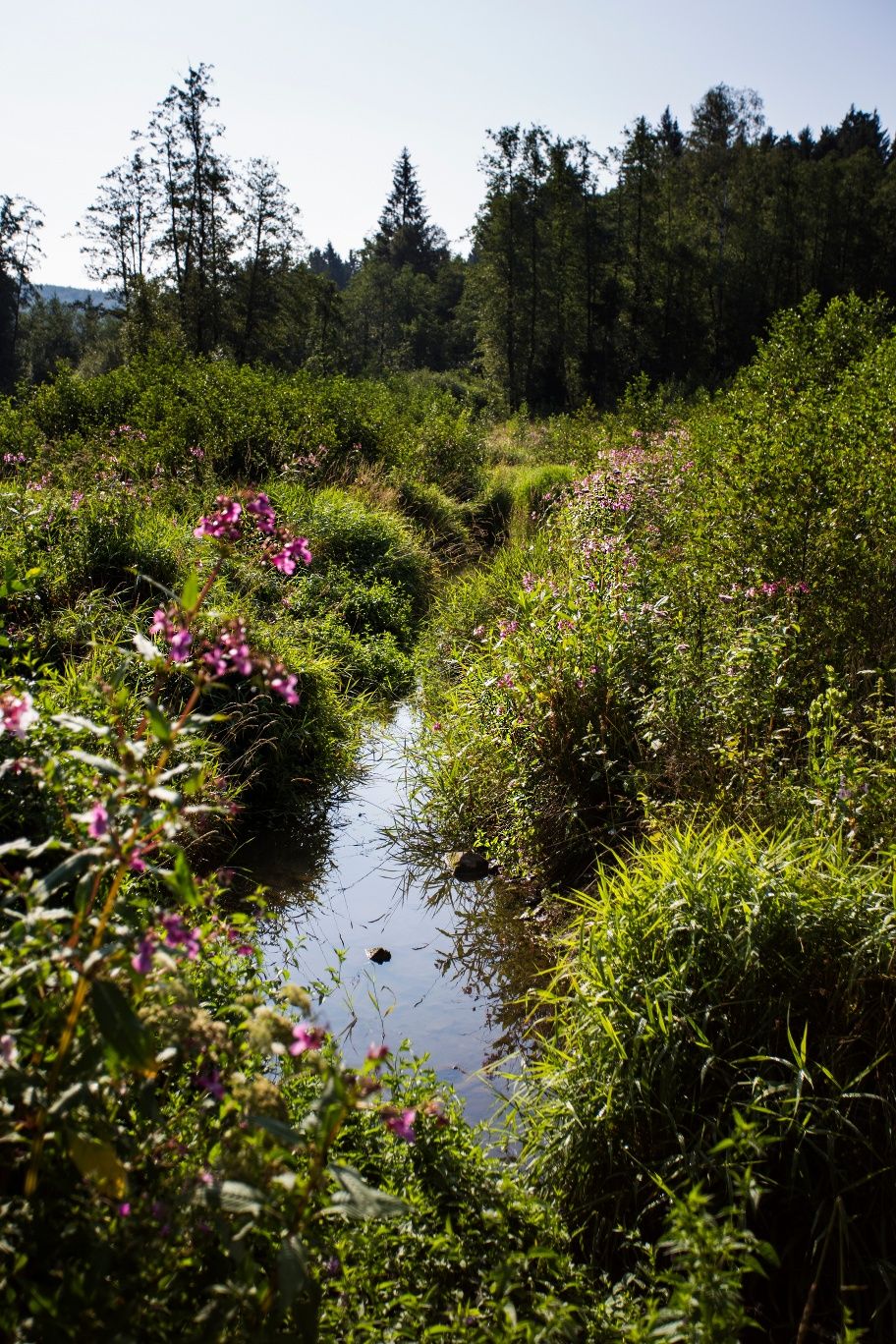
The Bestwig Panorama Trail connects the picturesque villages of the municipality of Bestwig in the Sauerland over a distance of around 50 kilometers. Its name says it all: numerous vantage points offer spectacular views of the surrounding low mountain range landscape. The route leads through dense forests, past historic half-timbered houses and along relics of ore and slate mining. A particular highlight is the Plästerlegge, the only natural waterfall in North Rhine-Westphalia. Adventure-seekers can take a detour to the Fort Fun leisure park, where the 800-metre-high Stüppelturm tower offers an impressive panoramic view. Another striking destination is the Steinberg ruins near Ostwig, an unfinished chimney that now serves as a lookout tower and offers sweeping views over the Ruhr and Elpe valleys. The challenging trail is certified as a "Wanderbares Deutschland" quality trail and is suitable for both day trips and tours lasting several days. Accommodation and refreshment stops can be found directly along the route.
- Hiking, Long-distance hiking trail
- 56 km
- 16:41 Hours
- medium
The Bestwiger Panorama Trail shines with many beautiful, sometimes spectacular panoramic views. For the most part, the trail runs along the ridges of the Sauerland, but also past the only natural waterfall in North Rhine-Westphalia.
Tour details
- Length:56.07 km
- Duration:16:41 Hours
- Uphill:1733 hm
- Downhill:1732 hm
- Difficulty:medium
- Category:Hiking, Long-distance hiking trail
- Features:
- Signposting
- Summit
- Culturally interesting
- Refreshment stops
- Multi-day tour
- Accommodation options
- Circular route


certificates and markings

Downloads
Good to knowMore information
Contact
Bestwiger Panoramaweg (B)
59909 Bestwig