Wasserquintett-WanderwegFive dams in seven stages

Radevormwald
  • Hiking, Long-distance hiking trail, Regional hiking trail
  • 108 km
  • 30:20 Hours
  • medium
This hiking trail connects five impressive reservoirs in the Bergisches Land region over a good 100 kilometers. Discover untouched nature, peaceful riverside paths and spectacular views, as well as industrial culture and typical Bergisch church villages.

Tour details

  • Length:107.59 km
  • Duration:30:20 Hours
  • Uphill:2059 hm
  • Downhill:2062 hm
  • Difficulty:medium
  • Category:Hiking, Long-distance hiking trail, Regional hiking trail
  • Features:
  • Refreshment stops
  • Circular route

The name "Water Quintet" is derived from the five dams that lie along the route: The route circles the Wupper, Bever, Lingese, Neye and Brucher dams in seven stages over a distance of around 100 kilometers. These were once built to produce drinking water and regulate flooding and have now developed into valuable nature and recreation areas.

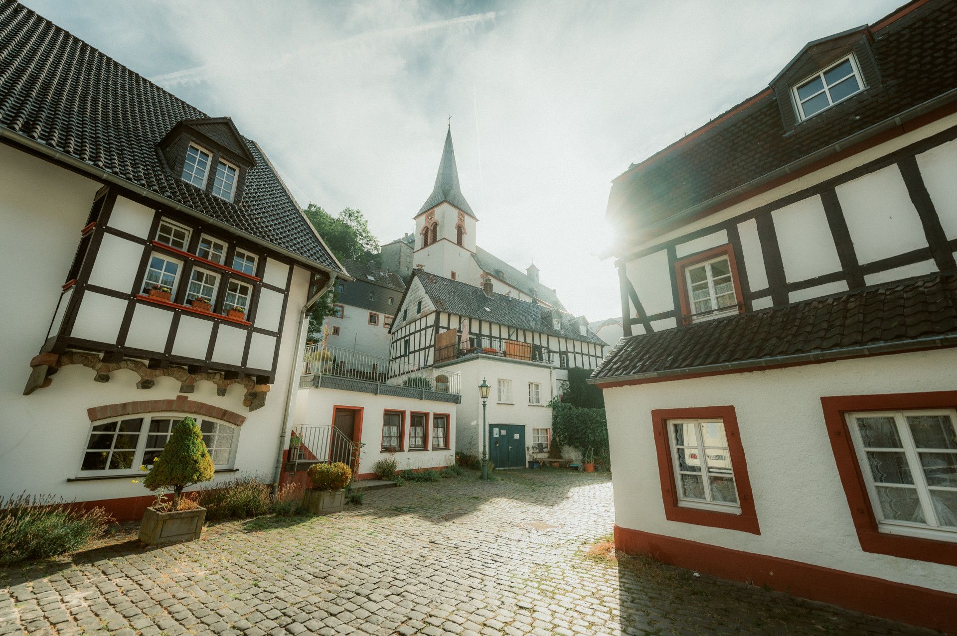
Each of the five dams has its own character. While the Bever Dam offers a wide range of leisure activities, the secluded location and largely natural shoreline of the Bruch Dam make it an attractive destination for those seeking peace and quiet. Architecture from the period of industrialization, the use of hydroelectric power and old railroad lines characterize the villages below the Wuppertal Dam. At the railroad station in Dahlhausen, you can marvel at historic rail vehicles, while in Dahlerau you can see the buildings of a textile factory with its own housing estates and stores. The "textile town of Wülfing" even has its own museum.

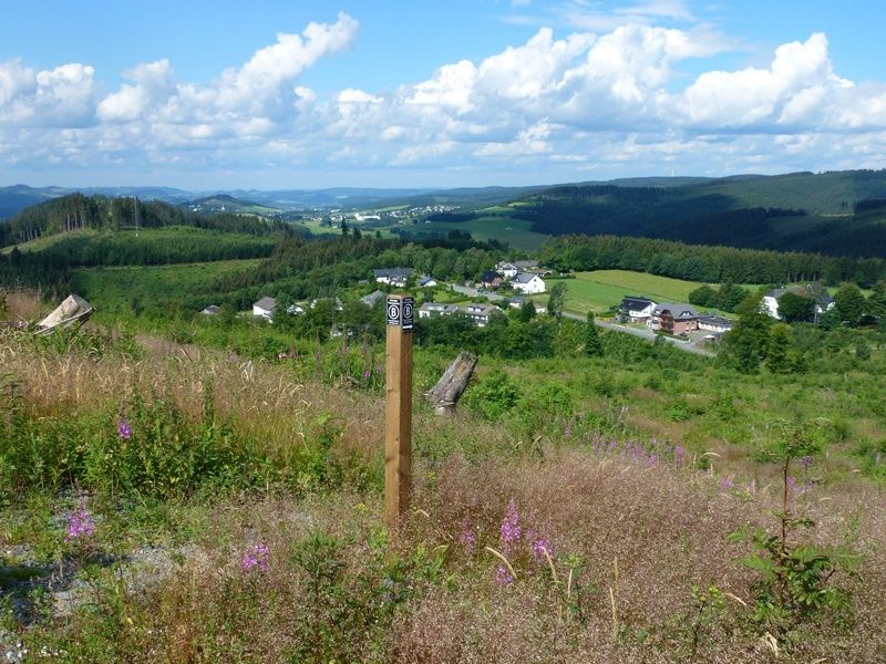
In addition to the large water quintet circuit, which runs through four municipalities in the Oberberg region, the diverse landscape can also be explored on 11 circular loops. There is also the Wasserquintett cycle path, which invites you to discover the Wasserquintett on 73 kilometers of signposted cycle route, 28 kilometers of which are railroad tracks.

More tours at a glance

  • Ahrsteig
    Blankenheim
    The challenging Ahrsteig trail runs for a total of 85 kilometers from Blankenheim to Sinzig. It accompanies the Ahr on its way through valleys, vineyards and half-timbered villages.
    Ahrsteig
  • View of the valley from the Bestwig Panorama Trail
    Bestwiger Panoramaweg
    Bestwig
    The Bestwiger Panorama Trail shines with many beautiful, sometimes spectacular panoramic views. For the most part, the trail runs along the ridges of the Sauerland, but also past the only natural waterfall in North Rhine-Westphalia.
    Bestwiger Panoramaweg
  • Wisentpfad (Bison Trail) - Rothaarsteig Trail
    Bad Berleburg Wingeshausen
    Experience picturesque views and exciting wildlife on the 13.5-kilometer bison trail in Aue-Wingeshausen, a unique nature conservation project.
    Wisentpfad (Bison Trail) - Rothaarsteig Trail
New tips every two months

Insider tips & excursion ideasNewsletter

Fancy some mail? Then subscribe here to our every two months newsletter with information on special travel offers, selected short tips for short trips and other insider tips for travelling in North Rhine-Westphalia.

Click here to register