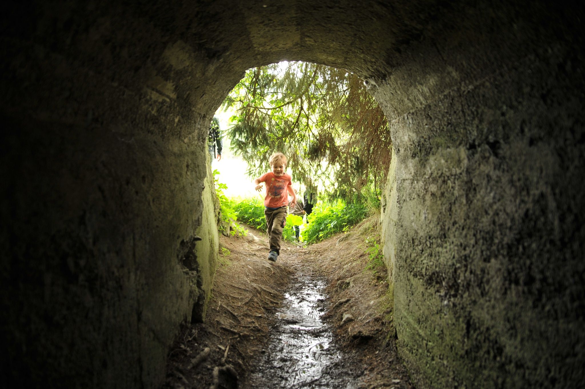
Dominik Ketz

Bergischer Panoramasteig

Engelskirchen
  • Hiking, Long-distance hiking trail
  • 245 km
  • 72:06 Hours
  • medium
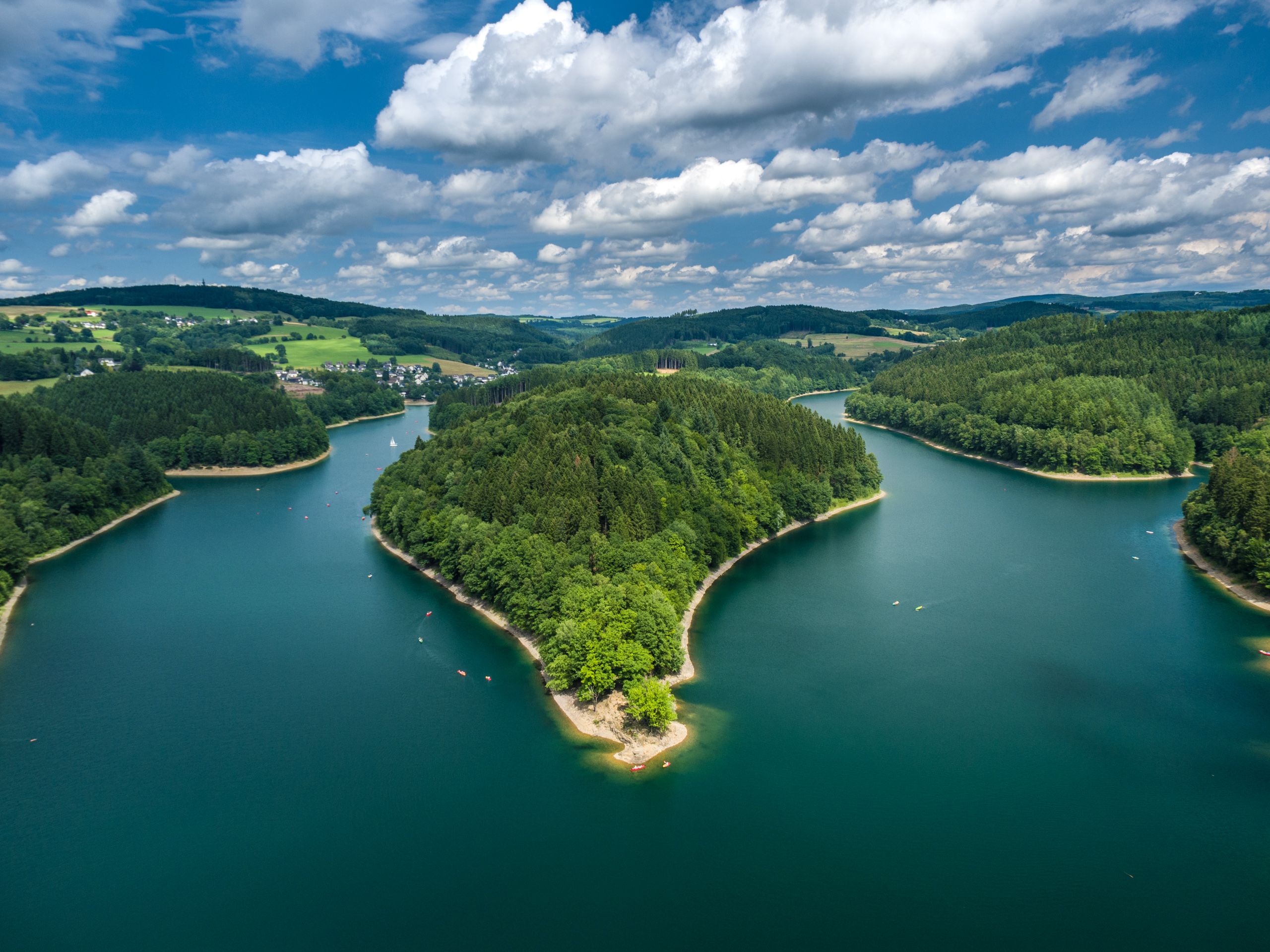
A hiking trail with magnificent views of reservoirs, rivers and lakes. The Bergische Panoramasteig leads 244 kilometers through the Bergisches Land Nature Park. Discover the most beautiful water landscapes in the region with the most reservoirs in Europe!

Tour details

  • Length:244.89 km
  • Duration:72:06 Hours
  • Uphill:6018 hm
  • Downhill:6016 hm
  • Difficulty:medium
  • Category:Hiking, Long-distance hiking trail
  • Features:
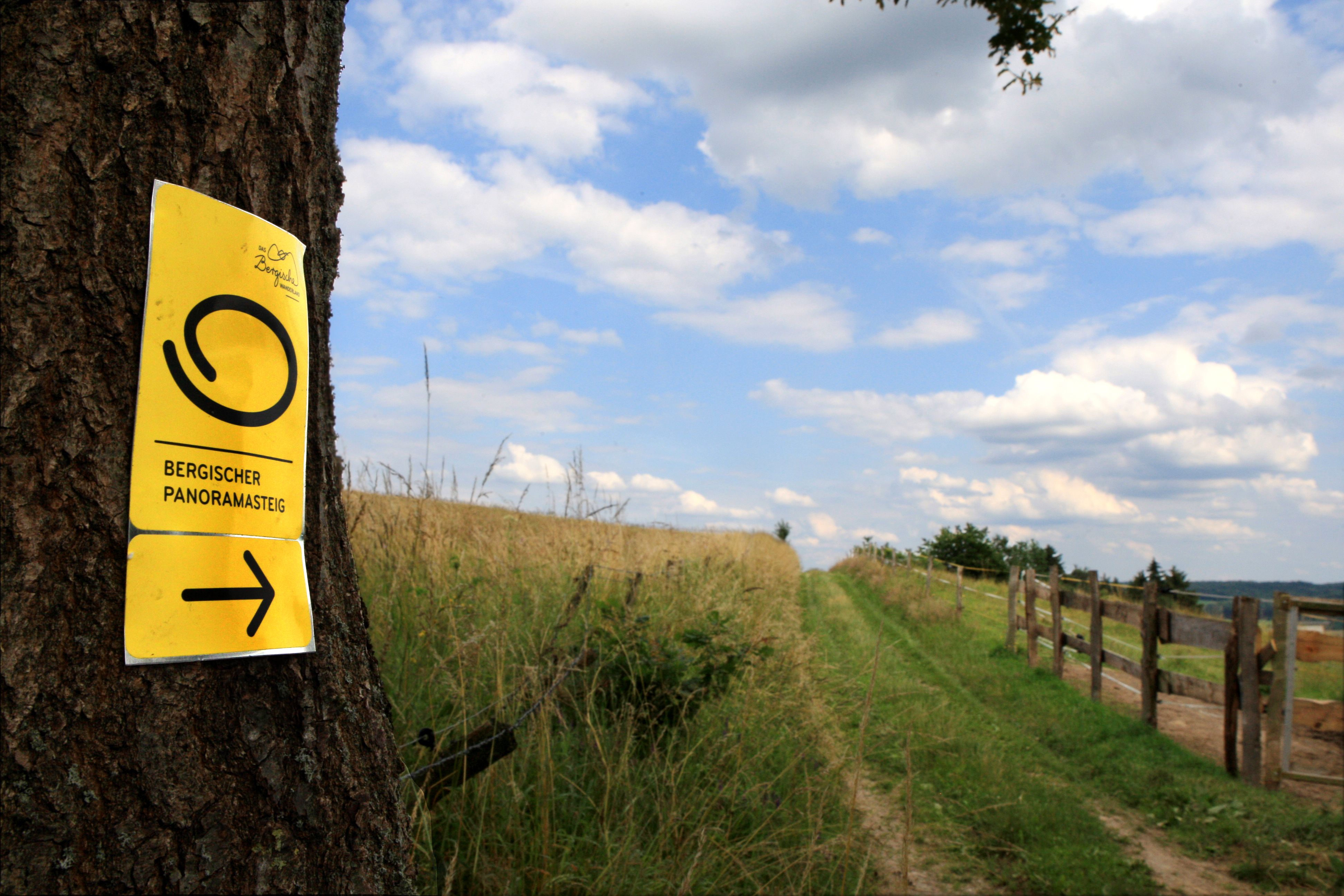
  • Signposting
  • Tour with dog
  • Swimming
  • Culinary interesting
  • Culturally interesting
  • Multi-day tour
  • Good public transport connections
  • Circular route

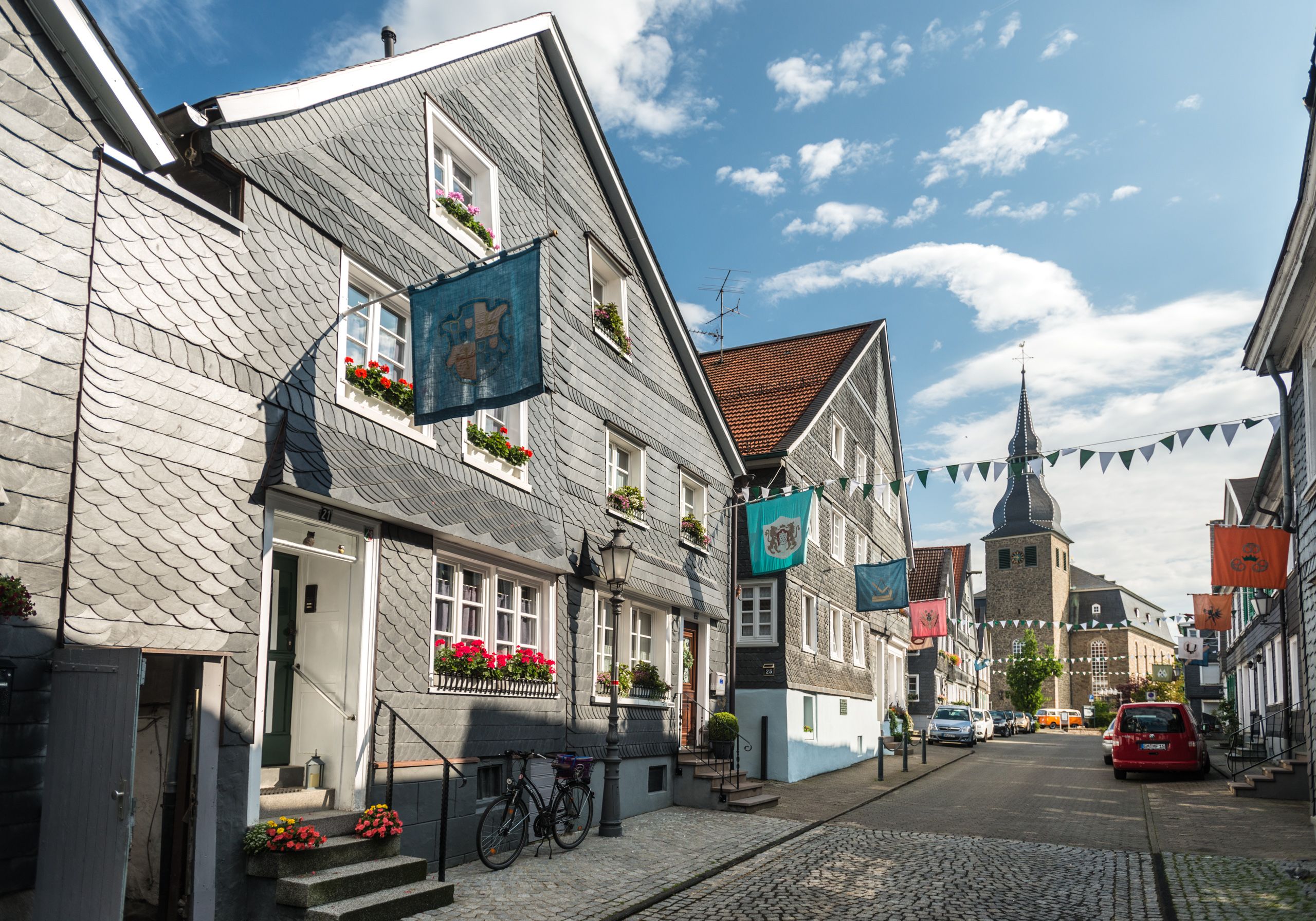
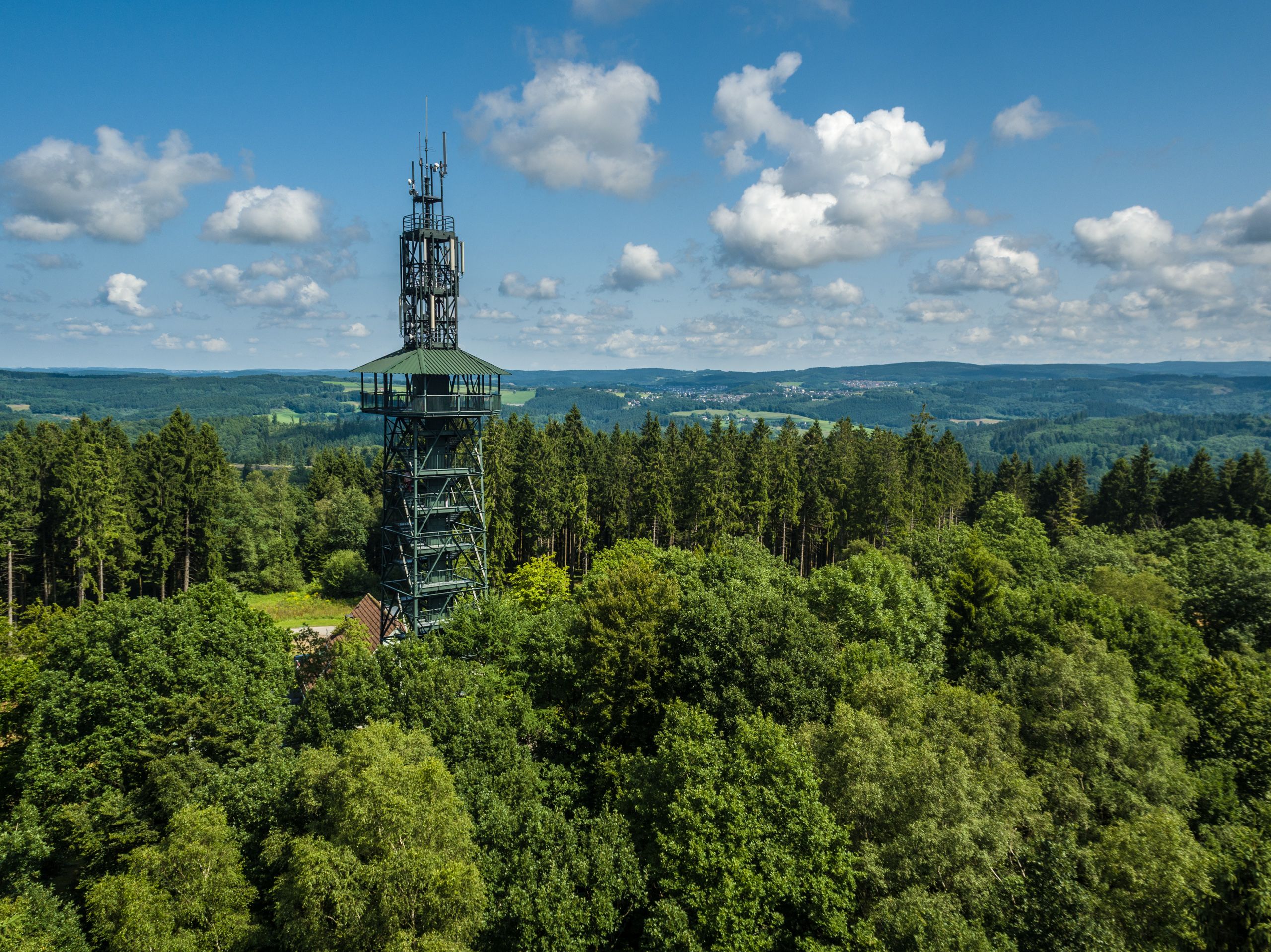
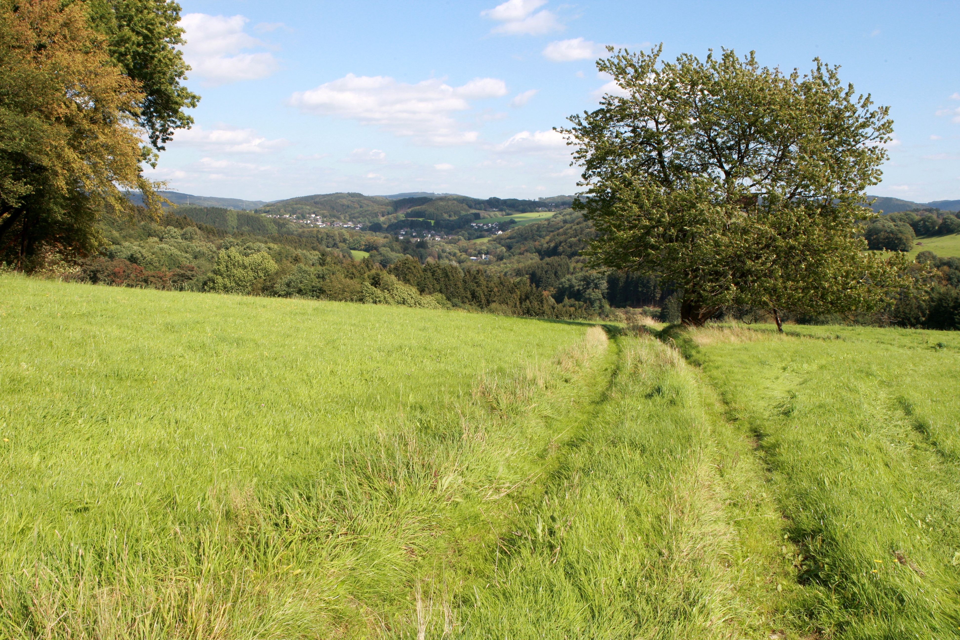
Whether dam, stream or river: this circular hiking trail is rich in water. Covering around 246 kilometers, the long-distance hiking trail combines the most beautiful panoramic views of the Bergisches Land with numerous water landscapes, for example in the valleys of the Agger and Wupper rivers.As the Bergisches Land has more dams to offer than any other region in Europe, relaxing breaks by the water are practically part of the daily program, including the Neye, Agger and Wuppertal dams, all of which not only serve as water reservoirs, but also offer hiking trails along the banks and water sports facilities.There is also plenty to discover along the way: the Bergisches Freilichtmuseum, various stalactite caves, a monkey and bird park, Homburg Castle and the Panarbora treetop walk are all along the way.

The "Bergisches Wanderland hosts" offer accommodation and refreshment stops along and near the trails and especially in the stage towns. They meet defined quality criteria and bear the "Bergisches Wanderland hosts" seal of approval, making them easy for hikers to recognize. Among other things, they provide guests with packed lunches for the road, provide expert information about hiking tours and sights or transport luggage.
certificates and markings

  • Quality Trail Wanderbares Deutschland

Good to knowMore information

Contact

Bergischer Panoramasteig

Brückenstraße
51766 Engelskirchen

Phone: +49 2204 / 8430 - 00

E-Mail: info@bergisches-wanderland.de

More tours at a glance

  • Rothaarsteig
    Brilon
    More forest is hardly possible. The 154-kilometre Rothaarsteig runs in the shade of the trees of the Sauerland and Siegerland. The high-altitude trail, which is one of the 13 Top Trails of Germany, promises hiking with all the senses. Numerous adventure stations along the route from Brilon to Dillenburg invite you to sharpen your awareness of the natural surroundings. You can also "just hang out" along the way.
    Rothaarsteig
  • Medebacher Bergweg
    Medebach
    The Medebacher Bergweg connects nine pretty half-timbered villages to form a panoramic circular trail with plenty of views. The numerous panoramic views from elevations such as the Lückenkopf and the Rösberg are particularly breathtaking, offering sweeping views across the Sauerland.
    Medebacher Bergweg
  • BaldeneySteig
    Essen
    Ganz klar: Das Wandern ist längst nicht mehr nur allein des Müllers Lust. Das wäre auch zu schade, denn seit 2017 lädt der knapp 27 Kilometer lange BaldeneySteig zu Wandertouren rund um Essens Stausee ein. Es geht durch Wälder, über Wiesen und Felder und vorbei an urigen Bauernhöfen. Tolle Ausblicke inklusive. Zudem gibt es vier Abstecher zu besonderen kulturellen Highlights, die von der Hauptroute aus erlaufen werden können. Wenn die Füße mal nach einer Pause verlangen, lassen sich Teile des Steigs, der mit 600 Höhenmetern aufwartet, auch mit dem ÖPNV, der Weißen Flotte oder der Hespertalbahn zurücklegen.
    BaldeneySteig
New tips every two months

Insider tips & excursion ideasNewsletter

Fancy some mail? Then subscribe here to our every two months newsletter with information on special travel offers, selected short tips for short trips and other insider tips for travelling in North Rhine-Westphalia.

Click here to register